Projects
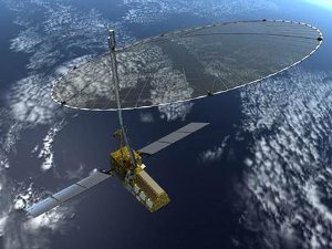
NASA-ISRO SAR Mission (NISAR)

Using advanced radar imaging that will provide an unprecedented, detailed view of Earth, the NASA-ISRO Synthetic Aperture Radar, or NISAR, satellite is designed to observe and take measurements of some of the planet's most complex processes, including Earth’s changing ecosystems, dynamic surface, and ice masses. Data collected from NISAR will reveal information about the evolution and state of Earth's crust, help scientists better understand our planet's changing climate in the polar regions and global land cover disturbances, and aid future resource and hazard management. The mission is a partnership between NASA and the Indian Space Research Organization (ISRO).


